Friday, June 6, 2014

Pacific Coast - San Francisco - Redwood Forest -Oregon

 
May 27 - May 31

As we had north from Monterey Bay, CA we see lots of campers parked beside the highway - people are camping just beside the beach. Looks like it is first come first serve. 
 

We see several lighthouses along the way.  This one was beside a  motel


We thought we needed to go to San Francisco to see the seals, but there were several seal viewing spots before we got to SF.  So we stopped to find a bunch of seals sunning on the beach...
We spent a few days in San Francisco, driving the hills was interesting in the Vette.  We thought we wanted to drive the curvy, hilly road but didn't need to once we drove around town,  


We spent time at San Francisco Pier 59 and saw more seals............ They are quite interesting to watch.


We spent time at the Golden Gate Bridge Park observing how this bridge was built and traveled over it the next day on our way north.

As we traveled up the Oregon Coast, the view is even prettier.  While there are rocks visable in the water, the water is really blue and the beaches seem to be really the best we have seen.


Our time on the Pacific beaches is over - but is was everything we expected and more.  The weather was warm enough to have the top down and enjoy the California sun..... Next - Washington State.

Thursday, June 5, 2014

Leaving Nevada for Yosemite and California Coast

May 24-27.
 
We leave Las Vegas and head west through  Death Valley and the Sierra/Nevada mountains.  We noticed that the air is so dry that  frozen water bottles do not sweat at all as they begin to thaw.  The roads are desolate and we see cacti, tumbleweeds, etc for hours, but the landscape is still pretty in its own way.
 

We cross into California and see snow again - its warm enough to drive with the top down - but snow is still on the ground.....  
 
 
Next stop is Yosemite National Park  where we see huge redwood trees and beautiful waterfalls. 
 
 
One thing we did not expect to see in California  was oil or gas wells, but these wells can been seen everywhere, even inside city limits of small cities. 


We finally make it to the Pacific Coast Highway 1 and begin our drive at Malibu on  Memorial Day! 
 
 
As we continue our drive up the coast, we find that the beaches are very rocky and in many cases there is no beach.... Walking the beach in most cases means no more than 100 yard walk.  We did see several surfers surfing in the Big Sur area but didn't see big waves.


We spend time driving on some of the back roads in central California and saw so many vegetable and fruit fields.   Grocery shopping for fruits and veggies won't be the same now, I'll have to look to see if they came from California fields.  I was able to buy fresh huge strawberries at roadside stands and really enjoyed them.
 
The other thing we came to appreciate was how many military bases we have on the Pacific coast -  hidden along the way.  We made one turn and saw a set of aircraft  at the entrance of an air force base and saw this replica jet as if it was about to take off in front of us!.   It was heart warming to remember all the military who serve to protect us all the time.

More to come soon as we move north!  Enjoy.

Friday, May 30, 2014

Hoover Dam and Las Vegas Here We Come!

May 21-24

We intended to go to Sedona, Arizona on our way to Las Vegas but a forest fire has started on the road t to Sedona - and the direct route was blocked.  We decided we had seen plenty of red rocks and the cliff dweller site was on a dirt road - so we headed first to Hoover Dam (like any loyal power company retiree would do) and on to LV. 

A new very high bridge has been built across the Colorado River in from of the dam.


We drove across the new bridge

and walked across the top of the dam. Our tour included the inside of the powerhouse -  looked a lot like Cowan's Ford  or Bad Creek inside but it was amazing to consider how they built this  huge thing in the mid 1930's. 

\
 
Next Stop Las Vegas!  There is enough neon to go from one end of NC to the other.  It's beautiful at night but we saw lots of things we weren't used to.  People legally drinking alcohol on  the streets; women offered for a party on every block.  People putting lots of money on the table for gambling. 


We saw the fountains at Bellagio, the Paris Hotel, Venetian, New York, New , Trump Hotel (covered in gold - they say) etc - we walked  2 1/2 miles of the Vegas Strip just for fun.


On Thursday, we did a few of the tourist trap things - we visited the world Famous Gold and Silver Pawn Shop of Pawn Stars TV show fame. We found a good park and only a short line. I had to buy something there  :) None of the TV personalities were there but we  saw lots of items that had been purchased on the show.


We also visited Count's Customs, another one those Las Vegas TV show locations. and took a tour of Danny's car collection and saw several vehicles that had been featured on their show..  Another good park for the Vette - right in front of the shop. We saw Roli and Horny Mike (I know that means nothing to some of you :)) but no good pictures.  They looked busy eating lunch as a hot dog stand near by....
 
 I was surprised at how friendly everyone was. Guess they were just regular businesses until TV producers found them....


Monday, May 26, 2014

Grand Canyon - It's really Grand! + Route 66

May 20

Today we move from Utah to Flagstaff, AZ by way of the Grand Canyon.  We went from the North side and had a really steep trip in.  But the view was beautiful. 

We got to see the very beginning of the Grand Canyon where the Colorado River flows slowly.


These pictures do not do justice to the colors in the Canyon. Nothing like seeing it in person.


 We saw several female elk on our way out of the park. 


We also found Route 66 again  in Flagstaff along with  a Route 66 Museum......I remembered Route 66  from the TV show but the museum describes the route was used to move settlers west in wagons....... Most of the old road is in really poor shape.   Glad Alvin didn't want to follow this road for 2800 miles - or what is left of it!

The sign behind the car says Historic Highway Route 66 

Pitiful, bumpy, narrow Route 66.

Sunday, May 25, 2014

Breckenridge, CO to the Canyons

May 17 - May 20

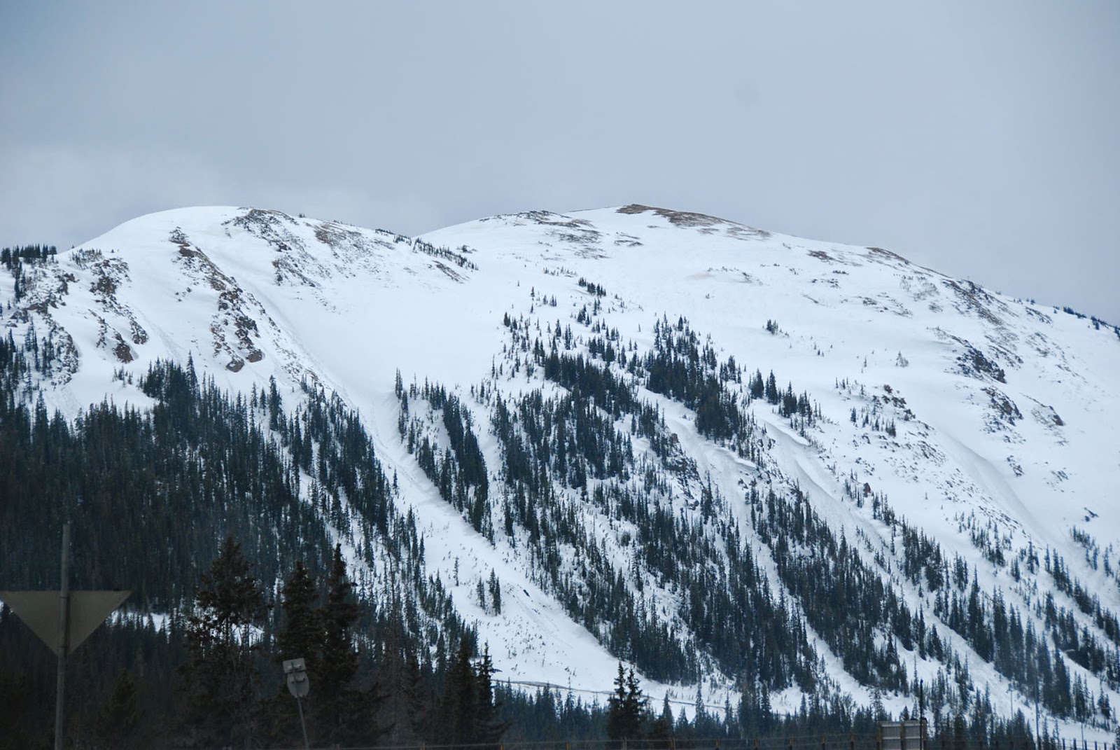
We left Denver for Breckenridge by way of Estes Park, CO.  Snow on the high mountains is visible  outside Denver.  Breckenridge ski resort is closed but snow is still visible  everywhere.  We are at 9600 feet above sea level and we could tell a difference in the air for sure. .

Breckenridge got 14 inches of sow on Mother's Day so some roads in Rocky Mtn National Park are still closed.  So, we head to canyon country.   First stop is Arches National Park.   Arches are magnificent examples of God's handiwork.  


Our next stop was Bryce and Zion National Parks.
 

These rock formations in Bryce Canyon are called hoodoos.  They look like wet sand art - extra large.
  
 
Zion National Park is known for its slot canyons - the best one takes a long hike through water - we toured through the park  by car and some hiking.  To get there required driving a step curvy road through a very long tunnel.  Lots of fun with the top down.  
 

This slot canyon did not require a long hike.  This one is actually fairly wide.

We spent the next day in the Grand Canyon.  These pictures do not depict all of the colors you actually see in the rocks.   While the Colorado River can't be seen in these pictures, we were surprised how blue/green the water was.


The more we drive, the more we cannot understand how anyone could  not believe God created heaven and earth!